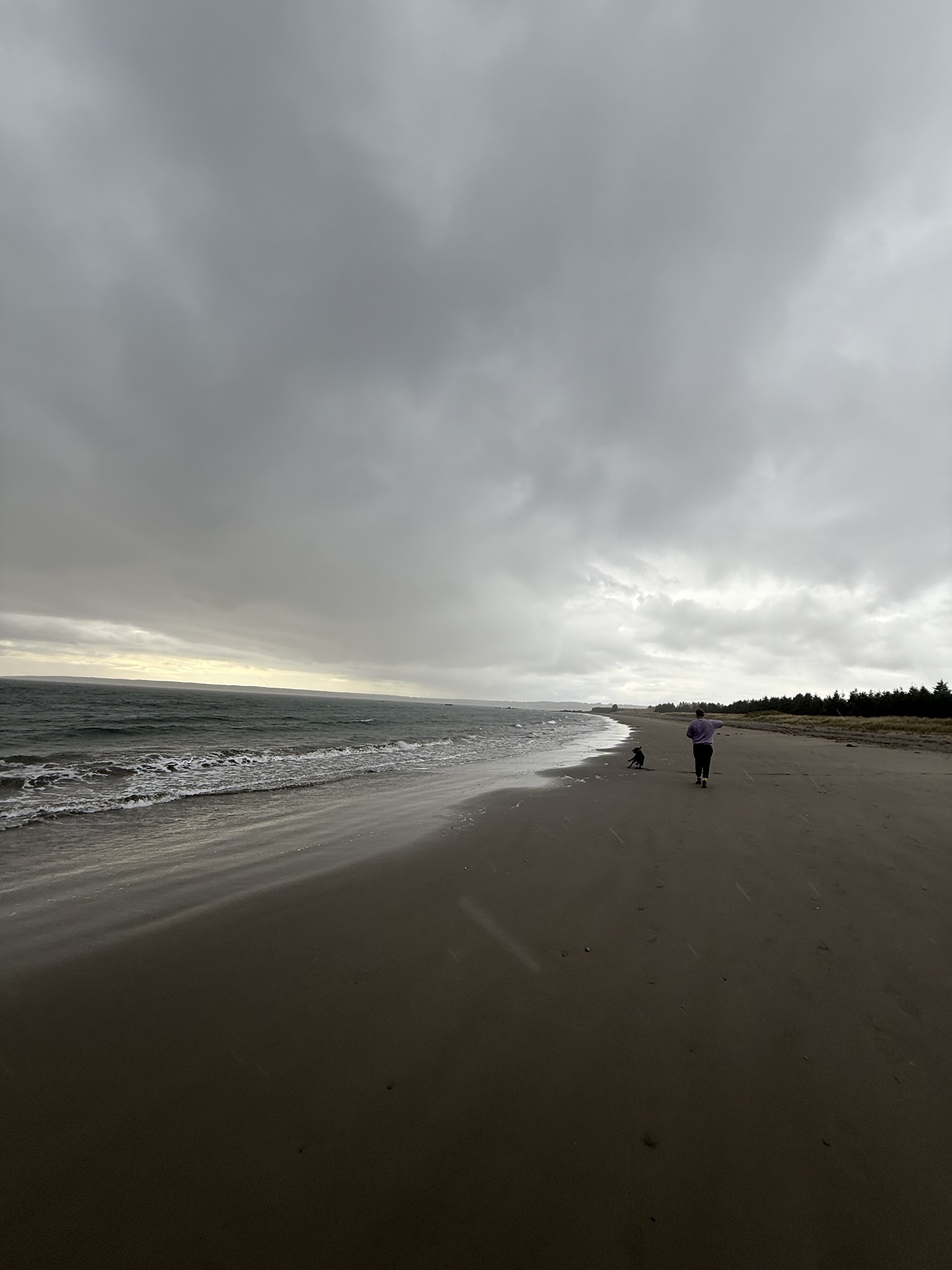
Atlantic Canada just went through one of its wildest weekends of fall so far.
The remnants of Hurricane Melissa swept through the region late Friday into Saturday, bringing winds up to 120 km/h, waves crashing onto coastal roads, and heavy rainfall that turned some streets into small rivers. From Cape Breton’s cliffs to PEI’s red shores, Atlantic Canadians hunkered down, made tea, and rode out another classic East Coast storm.
And while Saturday’s chaos is mostly behind us, Sunday isn’t completely calm yet.
What Sunday Looks Like
Nova Scotia (Halifax & Cape Breton)
- Breezy and mostly cloudy, with highs around 9–10°C.
- Expect lingering gusts and coastal spray, especially along the eastern and southern shores.
- Conditions should brighten by late afternoon as skies slowly clear.
Prince Edward Island
- A typical post-storm Sunday, cloudy, cooler, with easing winds.
- Southern areas saw up to 50 mm of rain Saturday, and wave action continues along the coast.
- High near 8°C. Ideal day to stay cozy indoors or take a quick drive to see the dramatic coastline.
New Brunswick (Saint John & Fundy Coast)
- Cooler air pushing in, with clouds and a few lingering showers.
- Winds tapering off, but still gusty near the Bay of Fundy.
- Highs around 7–8°C, with a calmer start to the week expected.
Newfoundland (St. John’s & Avalon Peninsula)
- Still unsettled, with a mix of showers and drizzle Sunday.
- As temperatures dip, some higher elevations may see wet snowflakes.
- Winds remain moderate but steady throughout the day.
So basically, the worst is over, but it’s still a “keep the slippers on” kind of day.
The Week Ahead
- Monday: Finally, a bit of calm. Expect a mix of sun and cloud across most of Atlantic Canada, with daytime highs between 6–10°C. Perfect for cleanup and post-storm walks.
- Tuesday: Another weak system will move in, bringing light rain for Nova Scotia, New Brunswick, and Newfoundland, not nearly as strong as Melissa, but enough to make it a rain-jacket day.
- Late Week: Cloudy intervals and occasional showers continue, but no major storms are on the horizon. Temperatures stay seasonal, hovering near 7–10°C across the region.
This pattern, dramatic storm followed by grey calm, is classic East Coast November weather.
PEI’s Weekend in the Spotlight
Yes, PEI got tossed around too.
- Winds reached up to 90 km/h in exposed areas.
- Rain totals hit 30–50 mm across parts of the Island.
- Coastal communities like Victoria-by-the-Sea, Summerside, and Charlottetown saw waves slamming against the boardwalks.
By Sunday, things are cooling down and drying out, making it a perfect day for hot drinks and warm blankets.
Moving to the East Coast? This Is Real Life
If you’ve recently moved from Ontario or elsewhere to the Maritimes, welcome to the weather rollercoaster.
Here’s what locals know and newcomers quickly learn:
- Wind is the main character in fall and early winter.
- Secure anything that can fly. Patio furniture, garbage bins, Halloween decorations, BBQ covers.
- Charge your phone and keep flashlights handy for potential power flickers.
- Avoid coastal roads and wharfs during wind warnings.
- Most importantly, embrace the cozy. These stormy weekends are the perfect excuse for movies, cooking, and community.
Need a Rainy-Day Plan?
If you’re in Newfoundland and looking for something to do while the weather resets, check out our guide:
👉 What To Do in St. John’s, Newfoundland When It’s Gross Out
It’s packed with cozy cafés, thrift shops, and storm-day escapes to make the most of a foggy weekend.
Source:
The Weather Network – November Outlook 2025

Leave a Reply