February 23, 2026
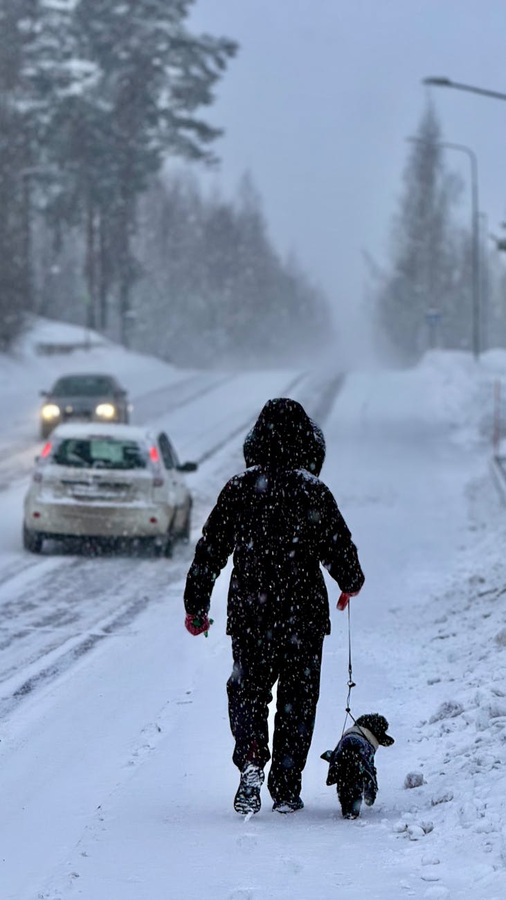
Nova Scotia is preparing for another significant winter storm, with Environment Canada issuing a Yellow Warning for Halifax and surrounding areas. Heavy snowfall, strong winds, and potential power outages are expected as the system moves across the province.
Officials say snow accumulations could reach 15 to 25 centimetres, with gusts up to 80 km/h, creating hazardous travel conditions and possible disruptions.
Halifax and Surrounding Areas Under Winter Warning
Environment and Climate Change Canada has warned that heavy snow combined with strong winds may reduce visibility and make roads dangerous, particularly during peak travel periods.
Key forecast details:
- Snowfall totals of 15 cm to 25 cm
- Wind gusts reaching approximately 80 km/h
- Blowing snow and near-zero visibility at times
- Difficult travel conditions across HRM and parts of southern Nova Scotia
Residents are encouraged to monitor official weather alerts as conditions evolve.
Nova Scotia Power Activates Emergency Operations Centre
In anticipation of the storm, Nova Scotia Power has opened its Emergency Operations Centre (EOC) and pre-positioned crews across the province.
Utility officials say teams are prepared to respond quickly to outages, though heavy, wet snow and strong winds could make restoration efforts challenging if power lines or tree limbs are impacted.
Storm-related outages remain a possibility, particularly in areas experiencing higher wind exposure.
Travel and Community Impacts Possible
With up to 25 cm of snow forecasted, travel disruptions are likely.
Blowing snow could significantly reduce visibility on highways and secondary roads. School boards in affected regions may evaluate early dismissals or closures depending on how conditions develop.
Residents are advised to:
- Avoid unnecessary travel during peak snowfall
- Keep emergency supplies ready
- Charge devices in case of power interruptions
- Follow official alerts from Environment Canada and Nova Scotia Power
Part of an Active Winter Pattern
This system continues an active winter weather pattern impacting Atlantic Canada in early 2026. Recent storms have already brought significant snowfall and disruptions to parts of Nova Scotia and neighbouring provinces.
While this storm is not currently categorized as extreme, the combination of snow and wind increases the potential for travel hazards and scattered outages.
What This Means for Halifax and Atlantic Canada
Spring may be approaching, but winter conditions remain firmly in place across Nova Scotia.
With snowfall totals potentially exceeding 20 cm in parts of Halifax and surrounding communities, residents should prepare for slow commutes, reduced visibility, and possible service interruptions.
Officials emphasize staying informed and limiting travel if conditions deteriorate.
References
Environment and Climate Change Canada. (2026). Weather warnings and public alerts – Nova Scotia. Government of Canada. Retrieved March 2026 from https://weather.gc.ca/warnings/report_e.html?ns1=
Nova Scotia Power. (2026). Storm preparation update and Emergency Operations Centre activation. Retrieved March 2026 from https://www.facebook.com/novascotiapower/
The Weather Network. (2026). Halifax weather alerts and warnings. Retrieved March 2026 from https://www.theweathernetwork.com/en/city/ca/nova-scotia/halifax/alerts

Leave a Reply